
Outdoors · Case study

HiiKER
Hiking maps, multi-day route planning and offline navigation.
- Platforms
- iOS, Android, Web
- Category
- Outdoors
- Status
- Live on the stores


The product
What we built
SwiftMapKitCore LocationCore DataOffline mapsGPX
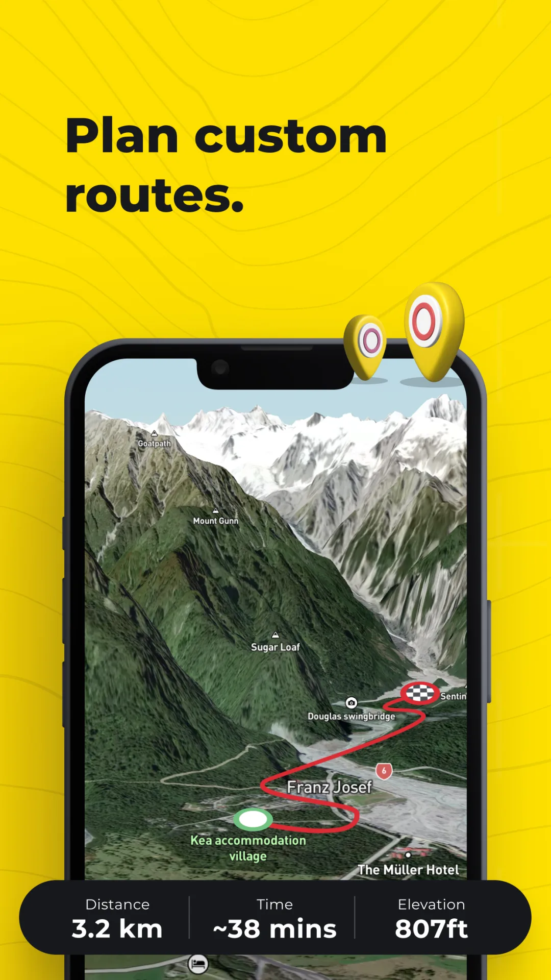
HiiKER helps hikers find trails, plan single or multi-day routes and navigate offline on detailed topographic maps with 3D terrain.
We worked on the iOS app, building route planning, GPX import and export, multi-day trip support, and live weather, elevation and terrain data.
- 100,000+ trails with campsites, huts and water points
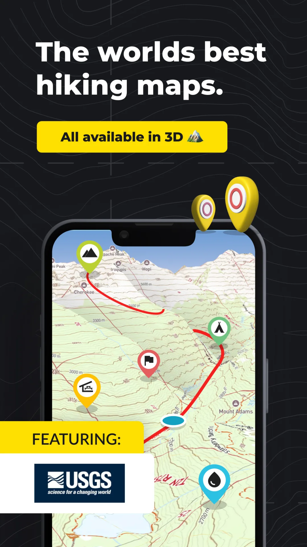
- Topo layers from OS, USGS and IGN, viewable in 3D
- Multi-day planner with stages and alternate routes
- Free offline map downloads for areas with no signal
- Live location sharing and off-route alerts
Screens
A closer look
Scroll sideways to see more.
Building something similar?
Tell us about your product. A senior engineer will reply within one business day.